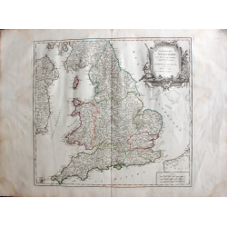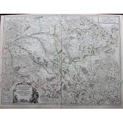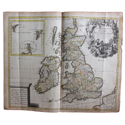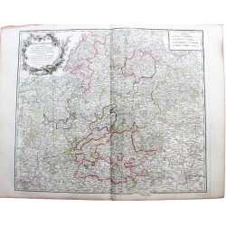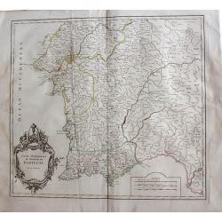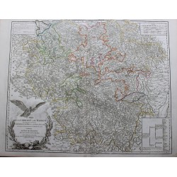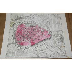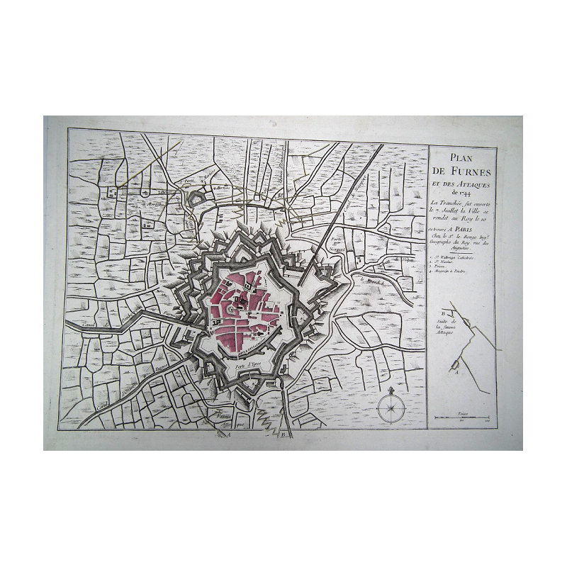
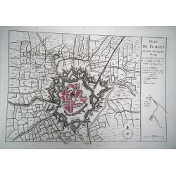
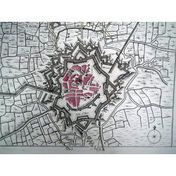
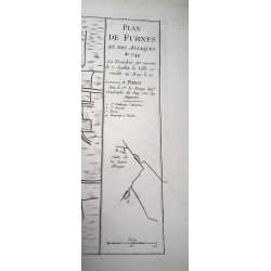

Map of Furnes and the attacks of 1744 - by GEORGE LOUIS LE ROUGE - In Paris
Georges-Louis Le Rouge (circa 1712 - circa 1790) was a cartographer,
18th century engraver and architect, geographer engineer to King Louis XV,
author of atlases, maps, battle plans and the relevance of strongholds.
Card size: 52 x 36 cm
18th century original map

Map of Furnes and the attacks of 1744 - by GEORGE LOUIS LE ROUGE - In Paris