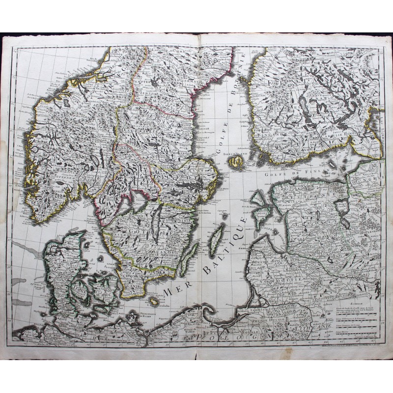


Original map in 18th century color
Philippe Buache is a French geographer, member of the Royal Academy of Sciences, born in Paris on February 7, 1700 and died in the same city on January 24, 1773 (at age 72). An excellent draftsman, he was noticed by the engineer Robert Pitrou, future builder of the Blois bridge, who taught him mathematics and developed his taste for graphic work.
It was also formed thanks to the geographer Guillaume Delisle. The king has just created the Deposit of Plans in Paris, which he entrusts to the Chevalier de Luynes. This one needs an assistant to put in order the materials it contained, resolve the contradictions in the information by evaluating the degree of confidence that can be given to it, and construct the nautical charts on the accuracy of which we can count. Guillaume Delisle introduced him to Philippe Buache when the latter was barely 21 years old. Philippe Buache remained attached to the Cartes Depot for 17 years4. He established more than 1,500 maps with the help of advice from Guillaume Delisle during his lifetime.
